What is Fly4cast?
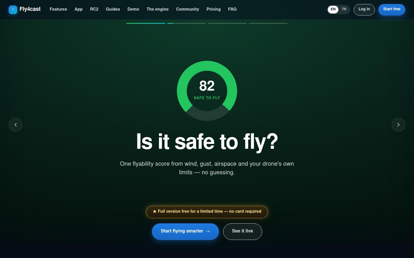
Fly4cast is a preflight information platform for drone pilots. It brings live weather, wind at different altitudes, airspace and no-fly zones, live air traffic and camera exposure calculations together on a single "cockpit" screen. The goal is to give the pilot a clear answer for their takeoff point and the time they want to fly: fly, fly with caution, or don't fly.
Fly4cast is a personal project developed by the Globya team. You can try it by opening a free account at fly4cast.com; the site is available in English and Turkish.
Starting point
Before takeoff, a drone pilot checks several apps one by one: weather, wind, airspace, the sun's position, camera settings. That information is scattered, and it's often given for the nearest city or airport rather than the exact spot where the pilot is standing. Fly4cast's starting point is to run these checks on one screen, for the exact takeoff point and for the pilot's own drone.
What's on the site?
- Flyability score: a single 0–100 score calculated from wind, gusts, precipitation, airspace and the drone's own limits.
- Wind at altitude: a wind and gust model from ground level up to 500 meters.
- Airspace and no-fly zone map: airports, helipads, restricted and military airspace; a proximity warning before takeoff.
- Live air traffic: real aircraft near the takeoff point, color-coded by altitude.
- GPS jamming community: GPS interference spots reported by pilots, plus confirmations.
- Camera and ND calculator: shutter speed, aperture, ISO and ND suggestions based on the filters in the pilot's bag; if the ideal filter isn't there, a comparison of the two closest options.
- DJI RC2 live cockpit: real-time transfer of flight data to the web screen.
- Mobile apps (iOS and Android beta, DJI RC2 companion app; details below), guides, glossary, FAQ, pricing and changelog.
Mobile apps — Fly4cast in your pocket and on your controller
Fly4cast isn't just a website; it also has two apps running on the same infrastructure. Both stay in sync with the web account: a flight saved on the phone shows up on the web, and a setting changed on the web shows up on the phone.
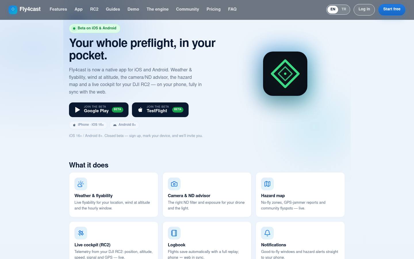
iOS and Android app (closed beta)
The whole preflight check in your pocket: flyability and wind at altitude for your current location, camera and ND filter suggestions based on your drone and the light, a hazard map showing no-fly zones and GPS jamming reports, an automatically recorded flight log you can replay, "good time to fly" alerts and hazard notifications. On a tablet, the app switches to a wider layout.
| Platform | iPhone (iOS 16+) and Android 8+ |
| Distribution | Closed beta — TestFlight on iOS, Google Play closed testing on Android |
| Joining | Users who sign up for free and choose their device type are added to the test list |
| Sync | Fully in sync with the web account (flight log, settings) |
Because the beta is closed, you can't find the app by searching the stores directly; you join through the fly4cast.com/mobile page.
Fly4cast RC2 — a companion app for the DJI controller
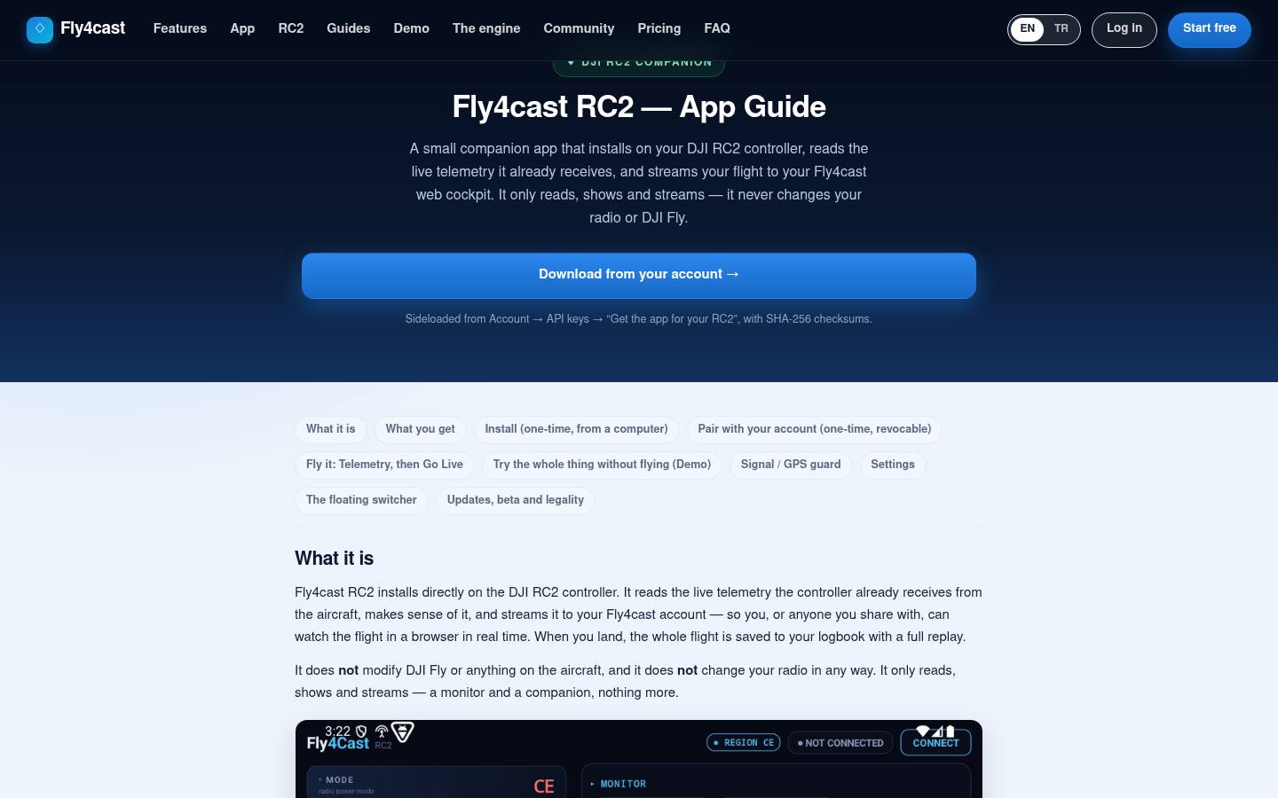
A small app installed on the DJI RC2 controller. It reads the flight data the controller already receives (position, altitude, speed, signal, GPS) and streams it live to the web cockpit and the mobile app; after landing, the whole flight is saved to the log in a replayable form. It warns on satellite loss or a dropped connection, shows nearby air traffic (ADS-B) and lets a co-pilot follow the flight from a browser.
One important design decision: the app only reads, displays and broadcasts; it never interferes with DJI Fly, the controller's radio settings or the aircraft. For anyone who wants to try it without a drone, there's also a demo mode that runs on a simulated flight. Installation files are downloaded from the user's account along with SHA-256 checksums. Detailed setup walkthrough: fly4cast.com/rc2.
This setup, which moves live data in sync between web, mobile and hardware (the controller), is also the foundation for client projects that need field teams and device integration. Details: our mobile app service.
Key solutions
Step-by-step flow
The home page shows two separate four-step journeys, one for pilots and one for photographers: choose the takeoff point, choose the time, read the preflight check, see the airspace. The dashboard resolves thirteen criteria on one screen, with the problematic ones pushed to the top.
Showing what's behind the numbers
With a "trust the result because you can check it" approach, the site openly explains its calculation engines: a multi-altitude wind model, sunset and golden hour calculations with true horizon correction, a range calculation that protects the battery, and the exposure math. Topics like why gusts matter more than average wind, how cold affects the battery and why the 250-gram limit is a legal threshold are explained in plain language.
Guide content
Most of the 19 URLs in the sitemap are guides: GPS jamming, ATTI mode, wind at altitude, ND filters and shutter speed, the Kp index, cold weather, airspace basics, return to home, a preflight checklist and reading flight logs. These pages both educate users and make the site findable in search engines.
Structured data and two languages
The home page carries SoftwareApplication, Offer, Organization and FAQPage schema; the English and Turkish versions are linked with hreflang. There's an llms.txt file for AI tools.
A clear line of responsibility
The footer carries a clear note: the platform only offers guidance, the pilot is responsible for the flight, and conditions and local rules must always be checked before flying. A separate account deletion page is also provided.
Analysis table
| Item | Status |
|---|---|
| Language | English, Turkish (hreflang) |
| Platform | Web + iOS/Android app (closed beta) + DJI RC2 companion app |
| Structured data | SoftwareApplication, Offer, Organization, FAQPage |
| llms.txt | Yes |
| Guide content | 10+ topic guides, glossary, FAQ |
| Live data | Weather, air traffic, community reports |
| Account management | Sign-up, settings, flight logs, account deletion |
| Mobile | Responsive design + native app |
| Disclaimer | Clear and visible |
What we learned from this project
- Reducing scattered information to one decision is hugely valuable. Users don't want ten separate data points; they want one result and the reasoning behind it.
- Explaining the math builds trust. Content that shows how the engine works turns into the product's strongest sales copy.
- Web and mobile should run on the same data. Whatever device users sign in from, they should see the same state.
Dashboards that combine live data, map-based screens and mobile apps are needs we often meet in client projects too. Related services: custom software, mobile app, integration. Industry: technology and software. Other personal projects: Mutfaksim and ArenaSim.
Who is Fly4cast for?
It's for hobby and professional drone pilots, and for anyone who shoots aerial photos and video.
Does Fly4cast grant flight permission?
No. The platform only offers guidance; the pilot is responsible for the flight, and local rules must always be checked before flying.
Can we have a dashboard or mobile app built that uses live data?
Yes. We develop web and mobile solutions that bring data sources together; the first conversation is by phone, and scope and pricing follow a written proposal after the discovery call. Describe your needs now in 3 minutes